Ever wanted to fly over the streets of Paris or zoom into the peaks of the Himalayas from your couch? With Google Maps Satellite View, you can explore almost every inch of the Earth in stunning detail. It’s easy. It’s fun. And best of all, it’s totally free.
What is Google Maps Satellite View?
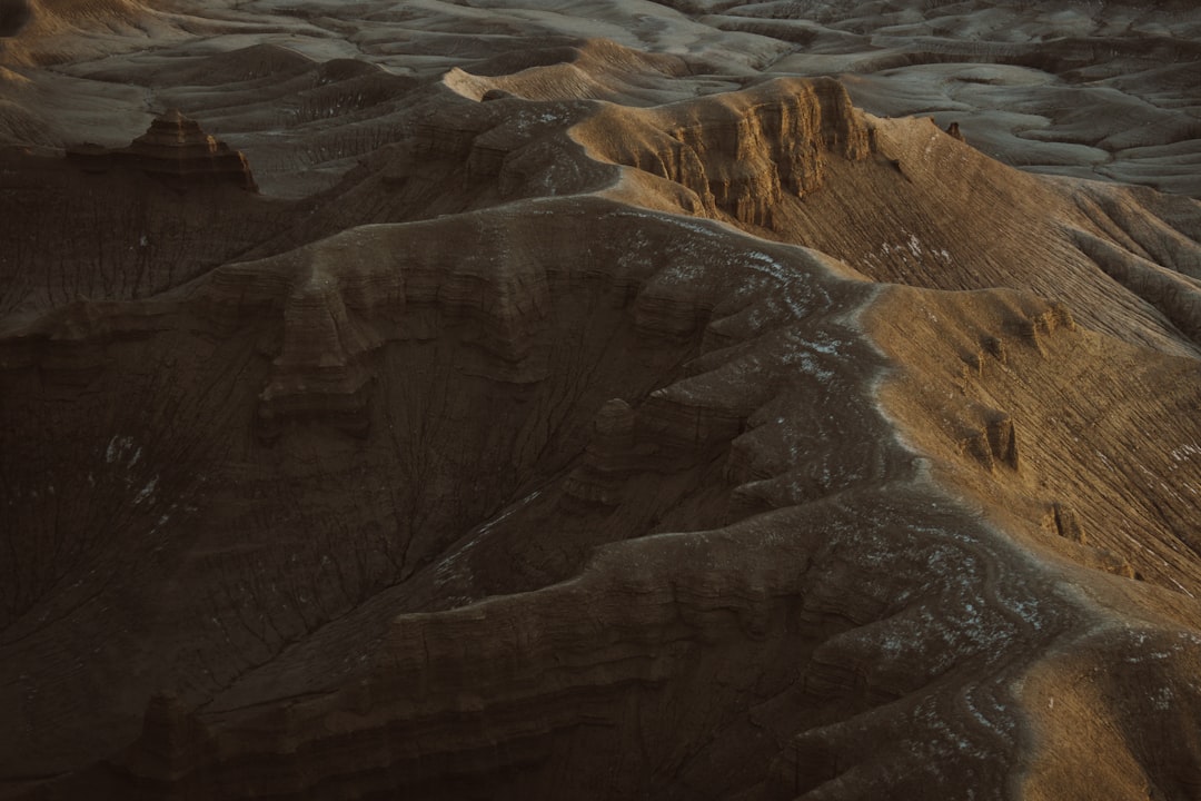
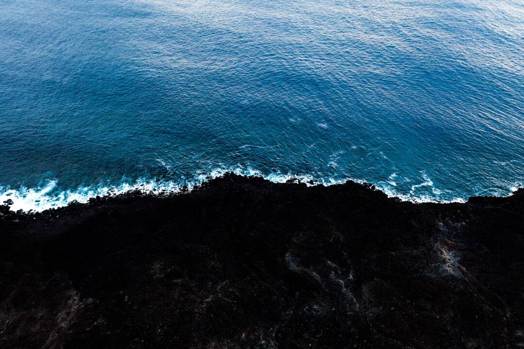
Google Maps Satellite View is a special feature that lets you see the world from space. It’s like having your own private satellite zoom lens. You can look down on cities, oceans, forests, deserts, and even your own backyard!
The images come from satellites and planes high up in the sky. They snap real pictures of the Earth and update them regularly. This lets you explore the planet without ever leaving home.
How to Access Satellite View
Getting started is simple. Just follow these steps:
- Go to Google Maps.
- Type a location into the search bar.
- In the bottom-left corner, click the “Layers” button.
- Select “Satellite”.
Ta-da! You’re now looking at a real satellite image of your chosen location.
Why Use Satellite View?
There are so many cool reasons to use Satellite View. Here are just a few:
- Virtual Travel: Visit new places without packing a suitcase.
- Plan Trips: Check out landmarks and routes before you go.
- See Famous Places: Zoom in on Big Ben, the Eiffel Tower, or the Statue of Liberty.
- Explore Nature: Look at mountains, rivers, and forests around the world.
- Spy on Your Own House: Okay, not really spy—but you can see what your neighborhood looks like from above!
Cool Features to Try
Satellite View is more than just images. You can interact with it in fun ways:
- Zoom In/Out: Use your mouse scroll wheel or the + and – buttons to zoom.
- Drag to Move: Click and drag to slide around the map.
- Switch to 3D: In some places, like big cities, you can view buildings in 3D!
- Street View: Drag the little yellow person (Pegman) to a street and explore it like you’re walking there.
It’s like flying, driving, and walking all in one!
Exploring Famous Landmarks
One of the best things to do is check out world landmarks. Here are a few spots that look amazing from space:
- Grand Canyon: The size and color are incredible from above.
- Great Wall of China: It snakes across the hills like a giant dragon.
- Sydney Opera House: That sail-like roof is easy to spot!
- Taj Mahal: Beautiful, bright white, and perfectly symmetrical.
You can search for these places and then switch to Satellite View to see them in high resolution. It’s like being there but without the jet lag.
3D Buildings and Terrain
Want to feel like you’re flying through a city? Just click the 3D button! Not all places have 3D, but many major cities do.
You’ll see buildings pop up with shadows, and mountains start to rise. You can even rotate around them by holding the Ctrl key while you click and drag.
This is especially fun in places like:
- New York City
- San Francisco
- London
- Tokyo

How is the Data Collected?
Google collects satellite images from companies that take pictures from space. They also use airplanes to get closer, better quality shots.
The images are taken at different times and stitched together using special software. Google blends them into one smooth map.
Sometimes you’ll notice different shades or even clouds in the images. That’s because some areas were photographed on different days or under different skies.
Real-Time vs. Recent Images
One common question is: “Are these images live?”
Nope! Google Maps does not show live satellite images—at least not yet. Most images are a few months to a few years old. But Google updates them regularly, especially in busy or popular areas.
So while you can’t catch a live parade from space, you can get a fairly recent look at what’s changed in your city or town.
Using Satellite View on Your Phone
Prefer to explore on your phone? You can do that too!
- Open the Google Maps app.
- Tap the layers icon in the top-right corner.
- Select “Satellite”.
Now you can zoom across oceans or streets with your fingertips. It’s like a magic map in your pocket!
Fun Ideas for Exploration
Ready to explore? Try these fun map adventures:
- Search for an Island: Zoom into Fiji or Hawaii for crystal blue waters.
- Follow a River: Trace the Amazon, Nile, or Mississippi from start to finish.
- Find Volcanoes: Look up Mount Fuji or Mount Kilimanjaro — they’re huge!
- Google Your Home: Type in your address and see your roof from space.
- Spot Airports: Giant runways and terminals are easy to see from above.
You can even play games, like guessing places with your friends or doing a scavenger hunt around the globe.
Tips for Best Viewing
Here are some quick tips to get the best experience on Satellite View:
- Use a bigger screen if possible for better detail.
- Click “3D” for a more exciting view in cities.
- Use Street View if you want to get closer to the ground.
- Be patient—some images may take a second to load in high definition.
Go Beyond Earth
Think the Earth is cool? Google Maps also lets you explore other planets!
- Google Moon: Walk around lunar landscapes.
- Google Mars: Check out craters, rovers, and red rocks.
- Google Sky: View stars, constellations, and galaxies.
Just search for them in your browser, and prepare for launch!
Wrap-Up: Your New Window to the World
Google Maps Satellite View is like a magic window that opens up the whole planet for you to explore. From the streets of Tokyo to the glaciers of Antarctica, there’s no limit to where you can go.
So next time you’re bored or curious, fire up Satellite View and go exploring. Trust us — it’s way cooler than scrolling through social media.
Adventure is just a click away!
Published on September 17, 2025 under .